FIELD GUIDE · EXPLORE
Clémont: canal, country paths and quiet heritage
Clémont is not a timetable-heavy attraction: come to read the canal landscape, choose a rural loop and notice modest heritage without crossing private boundaries.
A stop that rewards a slower pace
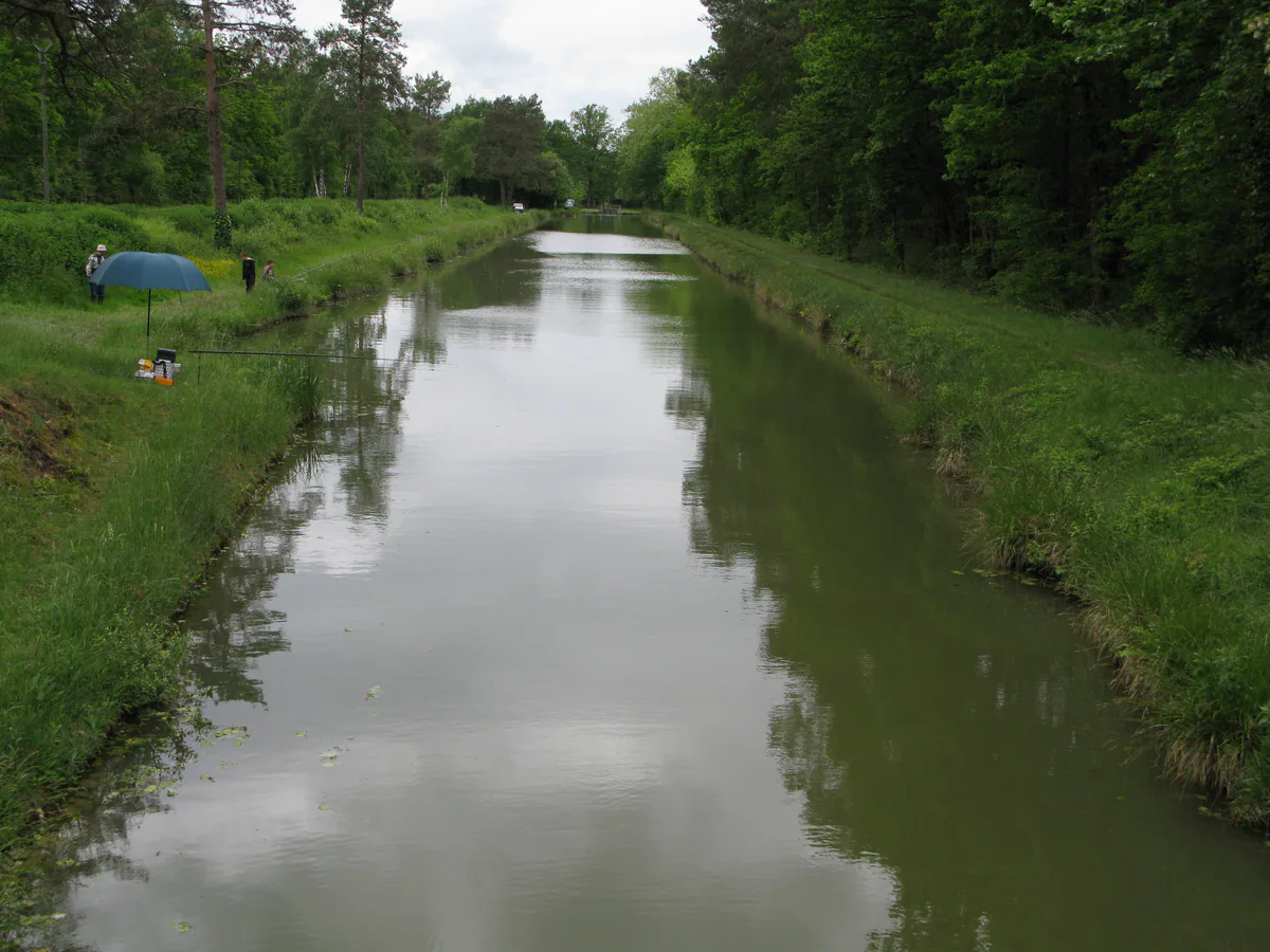
Clémont gathers brick and half-timbered houses around the church and Sauldre Canal. The tourist office’s current village page highlights Saint-Étienne church, washhouses, the former canal basin and Moulin d’Abas. Together they provide a compact reading of the settlement, but they are not all visitor buildings with regular interior access.
Begin near the church, then approach the canal through streets and paths that are clearly public. The old basin explains the canal’s practical purpose beyond its tranquil modern appearance. Moulin d’Abas forms part of the commune’s heritage landscape, but visibility from a road does not imply entry. Respect gates, fences and signs; a public viewpoint is better than an improvised detour.
Choose a proper walk
The tourist office presents three routes around Clémont: Chemin de Brinon, Mont de Mars and Chemin des Sables. Their published lengths are approximately 6.6 km, 12 km and 12.5 km. Download the current route sheet before setting off, since a name and distance reveal nothing about diversions, wet ground or seasonal instructions. Carry water and an offline map, and do not rely on a shop being open when you return.
The Sauldre, Nère, canal and Étang du Puits are also associated with local fishing. That does not make every bank publicly accessible or remove permit requirements. Check the relevant sector, season, category and rules with the competent fishing bodies. The Maison de la Pêche hosts programmed activities, but should not be treated as an attraction operating continuously.
Pair Clémont without overloading the day
Allow an hour for the village and a short look at the canal, then add two to four hours according to the chosen walk. Continue to Brinon-sur-Sauldre for a canal-focused day. For time by the water, check the current access and activities at Étang du Puits separately.
Mark your start in Google Maps or OpenStreetMap. The strongest plan keeps a short alternative for rain and a longer loop for good conditions.