FIELD GUIDE · EXPLORE
Walking in Sauldre and Sologne: choose and prepare a route
The area offers village loops, woodland itineraries and canal-side routes. The right walk is one whose distance, surface and actual starting point you have checked.
Start with the current route catalogue
Walking in Sauldre and Sologne ranges from a compact circuit around a town to several-hour itineraries between villages, canal and woodland. Begin with the tourist office’s current “On foot” directory. It gathers live route records, stated grades and, depending on the itinerary, a map, PDF or GPX track.
Do not choose on distance alone. A dry lane, a grassy path after rain and a small shared road demand different effort and attention. Establish whether the route is circular, where it genuinely starts, whether parking is authorised and how you would return after shortening it.
Four useful walking styles
For a first, shorter outing, the “Entre Château et jardin” loop around Aubigny combines town, heritage and the edge of the countryside. The official listing puts it below ten kilometres. It works well when your group also wants the historic centre, but download the current route rather than navigating from this summary.
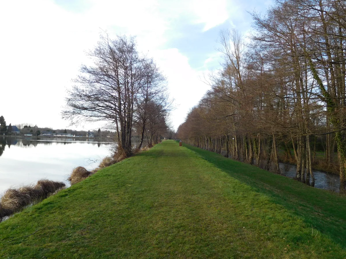
For the canal, the Blancafort–Argent-sur-Sauldre area combines locks, water and villages. The tourist office publishes a dedicated canal route record. The full distances listed are substantial for an improvised family outing; consider an out-and-back section and read our Sauldre Canal guide.
For a Sologne landscape, Brinon-sur-Sauldre has shorter and longer circuits associated with the world of Raboliot, while another route links Clémont and Brinon. The value lies in the change between red-brick villages, lanes and wooded ground. Do not promise a specific wildlife sighting; walk to understand the setting.
For the Petite Sauldre, the Ennordres–Ménétréol route gives worthwhile context, but it does not make Tourbière des Landes freely accessible. That peat bog can only be experienced within authorised arrangements. Read our peat-bog guide and never leave the published itinerary to enter the reserve.
Download first, then read the ground
Save the PDF and GPX whenever offered. A phone alone is not infallible: battery, rain and coverage can all fail. A paper map or saved image showing the start, junctions and turning point is meaningful backup. If waymarks conflict with an old track, follow the official diversion and report the issue to the listed route manager.
Read notices at the start. Forestry closures, works, local flooding or an organised shoot require a different plan. Never cross a barrier because a digital line continues. Much woodland and many tracks in Sologne are privately owned; looking natural is not the same as being public.
Surface, weather and equipment
After sustained rain, low paths and pond edges can become muddy. Shoes with grip, a waterproof layer and spare socks are more useful than an optimistic finish time. In summer, carry water, sun protection and current information about fire risk. After high winds, watch for damaged trees and falling branches.
For a long outing, take food, a simple first-aid kit, a light and backup power. Tell someone your intended route. With children, decide the turnaround point before fatigue and put a tangible objective in the middle: a lock, an authorised picnic spot, a village or a landscape observation.
Dogs, wildlife and shared routes
Follow local dog rules and maintain close control around livestock, birds and roads. Leave gates as you find them. Give wild animals space instead of driving them along the path. Do not play recorded calls and do not collect material in a protected area.
Some routes are shared with bicycles, horses, agricultural machines or local vehicles. Walk on the appropriate side, remain visible and slow every encounter at a narrow point. A greeting and a few seconds of patience prevent most conflict.
Build a day around the walk
For half a day, pair a shorter loop with Aubigny, Nançay or Argent. For a full day, choose a longer route and stop trying to stack two ticketed visits around it. Keep a nearby indoor alternative: a museum at Argent, the Auld Alliance interpretation centre at Aubigny or a booked session at Nançay.
The evening before, revisit the tourist office’s current brochure page, check weather and access, and download the latest version. A prepared walk leaves room for slowness without depending on perfect waymarking or uninterrupted mobile data.