FIELD GUIDE · EXPLORE
Nature in Sauldre and Sologne: ponds, rivers, canal and heathland
The local landscape is a mosaic of water, woodland and heath. This guide helps you choose an accessible site, check current rules and observe without crossing fragile boundaries.
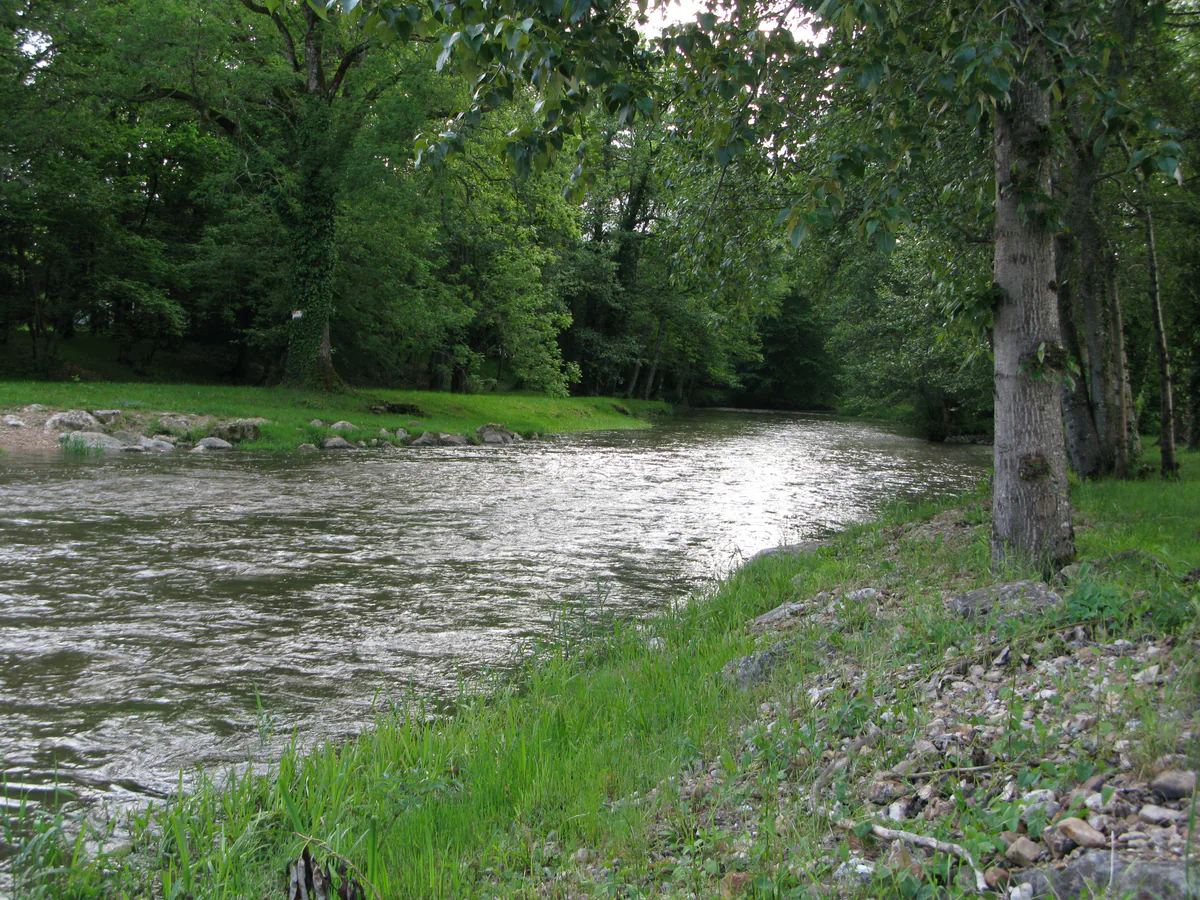
Look for a mosaic, not one “great forest”
Sauldre and Sologne is not a uniform wall of trees. Woodland alternates with ponds, meadows, villages, farmland and the valleys of the Grande and Petite Sauldre. The canal contributes a human-made water landscape that has become quiet habitat in places. This sequence of small environments—not one compulsory viewpoint—is what makes the area rewarding.
The tourist office’s current natural-site directory is a sensible starting point because it brings municipal ponds and sensitive natural areas together. It is not a substitute for a local check. Access, fishing, swimming, forestry work and guided events follow different rules that may change with season and site conditions.
Two sensitive areas, two different visits
Near Argent-sur-Sauldre, Étang du Puits combines water-management history, wooded shores, bird observation and seasonal recreation. It was created to supply the Sauldre Canal. The current official listing mentions walking, an ornithological reserve and water activities; consult it before visiting because supervised swimming, equipment and operators are not permanent. Our practical Étang du Puits guide separates a simple lakeside outing from activities that require confirmation.
At Ménétréol-sur-Sauldre, Tourbière des Landes protects acidic peat habitat, wet heath and swamp woodland. This is not a public park. The Centre-Val de Loire nature conservancy states that the site is not freely accessible and directs the public to organised nature events. The responsible approach is to book an advertised visit and follow the guide and authorised route. Our Tourbière des Landes guide explains how to prepare.
The Petite Sauldre and village ponds
The Petite Sauldre links several landscapes but does not offer a continuous public bank. View it from clearly authorised bridges, public spaces and paths; never turn private land into a convenient shortcut. Low ground can be wet or temporarily difficult after heavy rain. A downloaded map does not create an additional right of way.
Ponds at Aubigny, La Chapelle-d’Angillon, Ennordres, Sainte-Montaine, Brinon-sur-Sauldre and other communes appear in the tourist-office directory. Each has its own uses. The word étang does not automatically mean swimming, a complete circular walk or fishing without a permit. Read signs and the current official record: fishing may require permission, swimming may be prohibited, and some banks primarily shelter wildlife.
A canal built for work, now read as landscape
The Sauldre Canal was developed to carry marl used to improve Sologne’s soils. Between Blancafort, Argent-sur-Sauldre and Étang du Puits, hydraulic structures, lines of trees and still water reveal that practical history. The tourist office’s current canal outing article provides context and points visitors towards the Sente bleue route.
On the ground, do not assume that every bank is one continuous greenway. Choose a section covered by an official route sheet, identify your turning point and adapt the distance to the surface. Water activities at Argent are a separate, often seasonal offer; they do not define general canal access. Use our Sauldre Canal guide to build a realistic stop.
Watch wildlife without pursuing it
Quiet hours can make listening and observation easier, but no species is guaranteed. Binoculars are more useful than moving too close. Keep your distance from resting or nesting birds, manage dogs according to posted rules, do not play calls to lure wildlife, and avoid publishing the precise position of a sensitive species.
In peatland, stepping outside an authorised visit can damage ground whose fragility is not obvious. At a pond, pushing into reeds for a photograph can cause more disturbance than expected. On a forest path, access also depends on forestry, hunting and ownership. Treat every temporary closure as a real instruction.
Build a nature half-day that can succeed
Choose one principal environment. At Étang du Puits, pair quiet observation with a stop in Argent. Along the canal, walk a published section and add Blancafort or Argent’s museum. For the peat bog, let the time of an organised event determine the day, using Ménétréol village as the flexible complement.
Carry water, footwear for soft ground, a rain layer and sun protection. In summer, check fire-risk restrictions; after high winds, be alert to fallen branches. Download maps and contacts before leaving reliable coverage, and check the official events calendar for nature outings that are genuinely scheduled.
The useful principle is simple: arrive to understand the environment, not to force a promised experience. A cancelled activity can become a village or museum visit; a closed reserve must never become an invitation to bypass a barrier. That is how nature remains the durable substance of the trip rather than scenery consumed at speed.