FIELD GUIDE · EXPLORE
Sauldre Canal: history, useful stops and practical walking
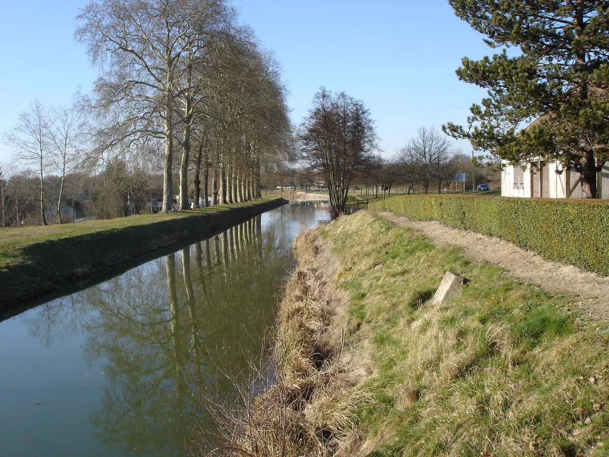
The canal tells the story of the marl trade and now connects engineering remains, villages and quiet landscapes. Explore published sections rather than assuming one continuous bank.
ON THE MAP
Addresses and map links
La Marine, Argent-sur-Sauldre
Lieu-dit La Marine18410 Argent-sur-Sauldre
France
A current reference point for some seasonal activities; confirm the exact meeting place with the organiser.
A canal built to change the soil
The Sauldre Canal was constructed in the nineteenth century to carry white marl from the Pays-Fort towards Sologne’s sandy land. Its opening, its loss of business to rail and modern fertilisers, and its hydraulic works make much more sense on the ground when you know why this waterway crosses the countryside without joining a major navigation network.
The tourist office describes a roughly 48-kilometre line between Blancafort and Lamotte-Beuvron, with 22 locks, and explains the local nickname “canal with neither beginning nor end.” Its current canal introduction gives useful context. Historical dimensions do not mean every bank can now be followed in the same way or that free navigation is possible.
Three stops that explain the waterway
Blancafort is a logical place to connect canal, village and château. The canal recalls marl extraction while the built heritage locates that work within the Pays-Fort. Read our Blancafort guide if you want to add the château; its access and opening arrangements are separate from an outdoor walk.
Argent-sur-Sauldre contributes the château park, Musée des Métiers d’Antan and La Marine area. Seasonal water activities may be offered here, but an event page does not guarantee a departure on your date. Check the current canal activity listing and contact the organiser when the activity is the reason for travelling.
Étang du Puits supplies the hydraulic key: the lake was created to feed the canal. It is also a nature and seasonal recreation stop. Our Étang du Puits guide explains why bathing, activities and access each require a separate check.
Walk or cycle without improvising
In the Cher section, the Sente bleue is the marked itinerary most directly associated with the canal. The tourist office offers a route record between Blancafort and Argent plus downloadable brochures and tracks. Use the current version rather than a saved old screenshot because marking, work, surfaces and diversions can change.
A published long route is not an instruction to complete it all. For half a day, select a section, define a clear turning point and allow time for a lock or village. Never assume a path continues simply because the water does. Remain on authorised ways and respect gates, private land and work notices.
The surface can soften after rain. A route suitable for a mountain bike may not suit a loaded road bike. On foot, leave room for detours and do not assume a shop will be open in every village. Carry water, basic repair equipment and an offline map.
A coherent one-day plan
Start in Blancafort with the village and one canal section. Continue to Argent for lunch and one indoor place that you have confirmed open. End at Étang du Puits or on a second short canal section according to the weather. This is more robust than a long one-way walk without return transport.
For a substantial distance, study the route sheet, elevation, surface and shuttle logistics. Rural buses are not frequent walking shuttles. Use our getting around guide and official Rémi timetables instead of assuming a connection.
Respect water and engineering structures
An unused lock still has drops, slippery edges and vulnerable mechanisms. Do not climb on structures, keep children close and avoid unstable banks. Launch no craft without explicit rules and permission.
The canal is compelling because it combines engineering, former industry and returning wildlife. Read the lines of trees, changes in level and relationships with villages. The outing then becomes one continuous story rather than a generic path beside water.