FIELD GUIDE · EXPLORE
Cycling in Sauldre and Sologne: routes, surfaces and logistics
Quiet roads, lanes and marked circuits make this rewarding cycling country. Riders must still distinguish published routes, actual surfaces and infrastructure that remains a project.
What cycling here actually means
Sauldre and Sologne offers a mixture of quiet roads, rural tracks and marked itineraries. The tourist office maintains a current cycling-route directory with starting point, indicative distance, grade and navigation for many circuits. Use that as the route source; this guide helps you choose the kind of day and avoid logistical mistakes.
Around Aubigny, several loops connect the historic town with villages or Étang du Puits. A shorter circuit reaches the lake from Argent-sur-Sauldre. The Sente bleue uses the canal landscape around Blancafort and Argent. Other routes extend towards Sainte-Montaine, Oizon, Vailly-sur-Sauldre or La Chapelle-d’Angillon. The right choice depends less on sporting ambition than on your bicycle, wind, surface and the time reserved for stops.
Three workable cycling days
Heritage circuit from Aubigny: identify authorised parking or your arrival point, ride one published loop, then keep the historic centre for the return. Timber-framed houses and the Château des Stuarts are best explored on foot; secure bicycles appropriately instead of weaving through pedestrians.
Argent and Étang du Puits: use the current route from Argent, carry enough water and check lake services before relying on refreshments. Bathing or water recreation is a seasonal extra, never a guarantee. Read our Étang du Puits guide.
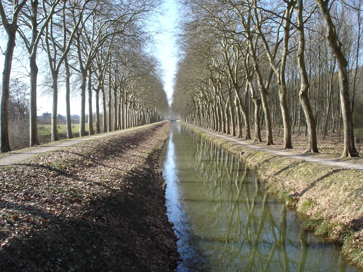
Canal and Blancafort: the Sente bleue and canal circuits provide a continuous theme. The surface is not necessarily uniform. Establish whether your track suits a road bike, hybrid, mountain bike or child trailer. Our Sauldre Canal page helps select stops without claiming the whole bank is rideable.
The Méridienne: verify access rather than anticipating it
The intermunicipal authority is developing a cycle route on sections of the former Bourges–Sully-sur-Loire railway corridor. Its Méridienne project update describes work beginning from 2025 and planned sections around Aubigny and Argent.
An announced project—even one under construction—is not proof that a continuous section is open on your riding date. Look for a recent authority notice, respect works and closures, and retain an existing official circuit as your alternative. Never cross a barrier to “try” a future route.
The former rail-bike is not a current vélorail
A tourist pedal-rail activity once used the former railway from Aubigny. That history explains references still found on old pages and maps. We found no corresponding current offer in the official activity directory, so do not arrive at the old station expecting to hire a rail-bike. Our former Aubigny rail-bike page preserves the history and explains what to check now.
The Méridienne also reuses a railway corridor, but it is a separate cycle-infrastructure scheme. A modern cycle path and a pedal vehicle on rails are neither the same equipment nor the same operational route.
Surface, traffic and self-sufficiency
Download the GPX, but read the record as well. A route graded easy may include a shared road, crossing or track softened by rain. Wear visible equipment, use lights even beneath forest cover and slow before every concealed junction. For children, select a route whose road sections and turnaround options you fully understand.
Carry a tube or tubeless repair, pump, basic tool, power bank and water. Rural shops may close between services or on particular days, so do not depend on improvised supplies. Check where bicycles can be secured at a visit and whether accommodation can store them under cover.
Reaching the area without a car
Approach stations and Rémi buses may help you reach the area, but bicycle carriage, reservations and timetables change. Read the operator’s conditions for each journey. Our getting around guide explains the main gateways without promising a connection.
Check weather for the entire circuit. Wind can turn an easy outward leg into a demanding return. Shorten the ride in severe heat or storm risk. A successful day combines one achievable route, a genuine break and a single visit, rather than ambitious mileage dependent on uncertain services.